
Mahalo for supporting Honolulu Star-Advertiser. Enjoy this free story!
The landscape is something we see every day. It is as familiar as a member of the family, yet we seldom think about how it got to be that way.
The study of landscape and its formation is called geomorphology.
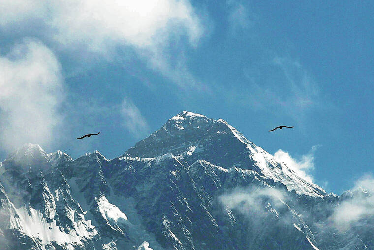
Wearing down of the land is slow by human standards but quite rapid in geologic terms. Worldwide measurements of rates of erosion of around 0.008 inch per year would wear down Mount Everest to sea level in only 44 million years.
In the 4.6 billion-year history of Earth, that is fast enough to have leveled all the mountains on the planet more than 100 times. Were it not for the constructive processes of volcanism and mountain building, the destructive forces of erosion would have rendered the landscape flat, featureless and boring.
Landscape topography is formed by a combination of processes often lumped incorrectly into the category of “erosion.” Erosion is but one of three processes that contribute to level the landscape.
Together the three processes — erosion, transportation and deposition — operate to level the landscape with the ultimate product a flat, featureless plain. Because Earth is geologically alive, continual mountain building interferes with this most of the time.
Erosion is the picking up of material, transportation carries it and deposition puts it down again. Each of these comprises many different processes, but water is typically the responsible culprit in all three.
Working behind the scenes to make material available for water to erode are two other more subtle forces: weathering and gravity. Weathering changes rock chemically or physically to make it easier to erode.
It is gravity that gives water the potential energy to make it flow downhill and provides material to the stream.
Gravity moves rock and soil continuously downhill, sometimes imperceptibly slow, until it reaches a streambed. There it might sit for thousands of years before a flood occurs that is large enough to move it.
Rock and soil move down even the gentlest slope. A small stream can cut valleys hundreds or thousands of times wider than the stream itself. As the stream meanders back and forth, it undercuts its banks, which become unstable, causing material to fall into the streambed where the water can reach it to carry it away.
As the stream erodes, it transports material downstream while breaking it into smaller pieces. Eventually the stream deposits the material when the speed of the water slows beyond the point where it has enough energy to carry it.
Sediment eventually reaches the ocean, where it might build up offshore in layers thousand of feet thick. There it undergoes lithification that transforms it into sedimentary rock. This may eventually become uplifted into a new mountain range. In the meantime it could lie in various locations along the stream course until it is again eroded and transported to a new location before ultimately reaching the ocean.
Although it may seem like a simple process, the shaping of the landscape is a complex interplay among weathering, erosion, transportation, deposition, lithification and uplift.
Source: Star Ads